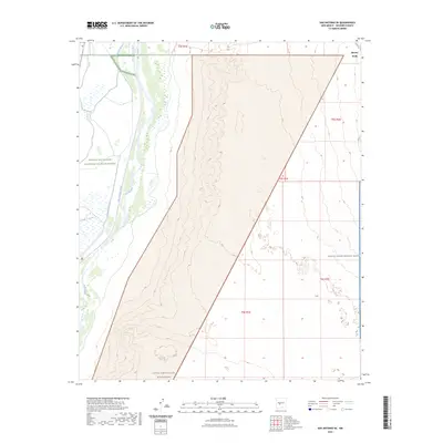
2023 Map of San Antonio SE
USGS Topo · Published 2023About this map
Rio Grande waters dominate the western edge of this Socorro County landscape, where complex irrigation systems like Elmendorf Ditch and San Antonio Ditch support the wetlands of the Bosque Del Apache National Wildlife Refuge. The map illustrates a stark transition from the lush river corridor to the arid eastern uplands. Much of the southern terrain is protected within the Little San Pascual Wilderness, while the eastern boundary abuts the vast White Sands Missile Range. Human activity is sparse beyond the riparian zone, with Kinney Wells marking one of the few named interior landmarks. This 2023 survey provides a detailed record of the public and military land divisions that define this section of the Rio Grande valley, useful for understanding modern land management and hydrological patterns in the desert southwest.
Find a feature on this map
13 named features on this map. Tap any name to fly to it.
Don’t see what you’re looking for? This feature index may not catch every label — zoom into the map to look around manually.
Map Details
Editions of this 2023 San Antonio SE Map
This is the sole edition of this map. No revisions or reprints were ever made.
Other maps of this area

1948 · Carthage
USGS Topo · 1:62,500

1948 · Granjean Well
USGS Topo · 1:62,500

1948 · San Antonio
USGS Topo · 1:62,500

1948 · Val Verde
USGS Topo · 1:62,500

1954 · Tularosa
USGS Topo · 1:250,000

1958 · Tularosa
USGS Topo · 1:250,000

1981 · Granjean Well
USGS Topo · 1:24,000
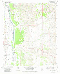
1981 · San Antonio
USGS Topo · 1:24,000
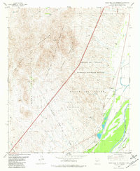
1981 · Indian Well Wilderness
USGS Topo · 1:24,000
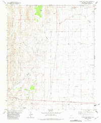
1981 · Canon Agua Buena
USGS Topo · 1:24,000