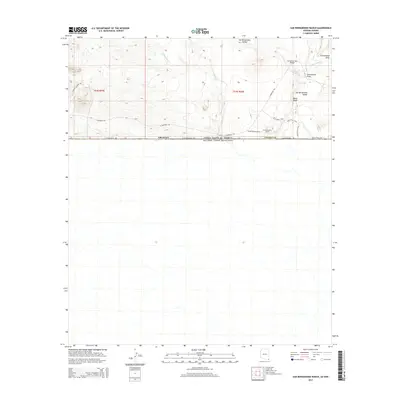
2014 Map of San Bernardino Ranch
USGS Topo · Published 2014About this map
San Bernardino Ranch anchors the southeastern corner of Cochise County in this 2014 topographic study, situated directly against the international boundary with Estados Unidos Mexicanos. The landscape is dominated by the San Bernardino Valley, where ephemeral water sources like Wildcat Wash and Cottonwood Cr drain through the arid terrain. Historical land management and transit are evidenced by the network of named routes, including E Geronimo Trl, which crosses the Geronimo Trail Bridge. Researchers can find specialized infrastructure such as Astin Spring and Astin Tank, critical for cattle and settlement in this corner of the Sonoran desert. The presence of Slaughter Ranch Rd and the W Mesa Trail illustrates the continued use of old ranching corridors along the E International Ave border road.
Find a feature on this map
20 named features on this map. Tap any name to fly to it.
Don’t see what you’re looking for? This feature index may not catch every label — zoom into the map to look around manually.
Map Details
Editions of this 2014 San Bernardino Ranch Map
This is the sole edition of this map. No revisions or reprints were ever made.
Other maps of this area

1919 · Perilla
USGS Topo · 1:125,000

1922 · McDonald
USGS Topo · 1:62,500

1940 · College Peaks
USGS Topo · 1:62,500

1955 · Douglas
USGS Topo · 1:250,000

1958 · Guadalupe Canyon
USGS Topo · 1:62,500
1958 · College Peaks
USGS Topo · 1:62,500

1959 · Douglas
USGS Topo · 1:250,000

1961 · Douglas
USGS Topo · 1:250,000

1964 · Douglas
USGS Topo · 1:250,000
1985 · San Bernardino Ranch
USGS Topo · 1:24,000