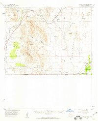
1958 Map of College Peaks
USGS Topo · Published 1959About this map
San Bernardino Ranch anchors the southeastern corner of this arid landscape, situated where Black Draw and Cottonwood Draw converge near the border. The terrain is defined by the sharp rise of the Perilla Mts and the namesake College Peaks, which separate the Sulphur Spring Valley from the San Bernardino Valley. This 1958 field-checked survey reveals a livestock-driven economy dependent on an extensive network of wells and windmills, such as Steel Woods Windmill, Johnson Windmill, and Lowell Windmill.
Find a feature on this map
46 named features on this map. Tap any name to fly to it.
Don’t see what you’re looking for? This feature index may not catch every label — zoom into the map to look around manually.
Map Details
Editions of this 1958 College Peaks Map
3 editions found
Other maps of this area

1914 · Douglas
USGS Topo · 1:62,500

1916 · Pearce
USGS Topo · 1:125,000

1916 · Douglas
USGS Topo · 1:125,000

1917 · Chiricahua
USGS Topo · 1:125,000

1919 · Douglas
USGS Topo · 1:125,000

1919 · Perilla
USGS Topo · 1:125,000

1919 · Chiricahua
USGS Topo · 1:125,000

1922 · Swisshelm
USGS Topo · 1:62,500

1922 · McDonald
USGS Topo · 1:62,500

1925 · Douglas
USGS Topo · 1:62,500