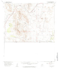
1958 Map of College Peaks
USGS Topo · Published 1959About this map
The Perilla Mts and College Peaks dominate this high-desert borderlands landscape, where the United States Mexico international boundary forms the southern limit of the survey. In the late 1950s, the remote character of Cochise County is defined by the Southern Pacific rail line and a sparse network of ranching outposts. Along the southern edge, the San Bernardino Ranch stands as a significant historical anchor near Black Draw, while further north, the rail siding at Cazador and the broad expanse of Poverty Flat illustrate the isolation of the San Bernardino Valley. The terrain is characterized by dramatic elevation changes, from the deep cuts of Hog Canyon to the heights of the Pedregosa Mts. Arid drainage patterns like Silver Creek and Wildcat Wash carve through the basin floor, tracing the natural flow toward the border and the settlement at Geronimo.
Find a feature on this map
28 named features on this map. Tap any name to fly to it.
Don’t see what you’re looking for? This feature index may not catch every label — zoom into the map to look around manually.
Map Details
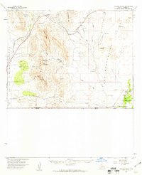
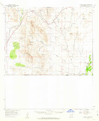
Editions of this 1958 College Peaks Map
3 editions found
Other maps of this area

1914 · Douglas
USGS Topo · 1:62,500

1916 · Pearce
USGS Topo · 1:125,000

1916 · Douglas
USGS Topo · 1:125,000

1917 · Chiricahua
USGS Topo · 1:125,000

1919 · Douglas
USGS Topo · 1:125,000

1919 · Perilla
USGS Topo · 1:125,000

1919 · Chiricahua
USGS Topo · 1:125,000

1922 · Swisshelm
USGS Topo · 1:62,500

1922 · McDonald
USGS Topo · 1:62,500

1925 · Douglas
USGS Topo · 1:62,500