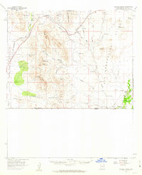
1958 Map of College Peaks
USGS Topo · Published 1963About this map
The United States Mexico border defines the southern edge of this mid-century landscape, where the Geronimo Trail cuts across the arid basin. Life in this corner of Cochise County centers on the historic San Bernardino Ranch and the tiny railroad siding of Cazador along the Southern Pacific tracks. The map documents a fragile water infrastructure essential for ranching, noted by numerous family-named landmarks like the Steel Woods Windmill, Weldy Windmill, and Johnson Windmill.
Find a feature on this map
48 named features on this map. Tap any name to fly to it.
Don’t see what you’re looking for? This feature index may not catch every label — zoom into the map to look around manually.
Map Details
Editions of this 1958 College Peaks Map
3 editions found
Other maps of this area

1914 · Douglas
USGS Topo · 1:62,500

1916 · Pearce
USGS Topo · 1:125,000

1916 · Douglas
USGS Topo · 1:125,000

1917 · Chiricahua
USGS Topo · 1:125,000

1919 · Douglas
USGS Topo · 1:125,000

1919 · Perilla
USGS Topo · 1:125,000

1919 · Chiricahua
USGS Topo · 1:125,000

1922 · Swisshelm
USGS Topo · 1:62,500

1922 · McDonald
USGS Topo · 1:62,500

1925 · Douglas
USGS Topo · 1:62,500