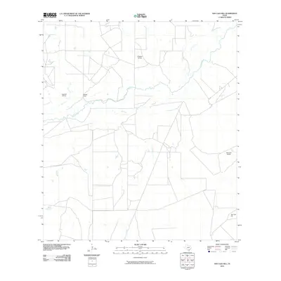
2010 Map of San Caja Hill
USGS Topo · Published 2010About this map
San Caja Hill rises as a prominent landmark in this segment of McMullen County, anchoring a landscape defined by the winding course of the Nueces River. The river's influence on the terrain is evident through the presence of the Old River channel, suggesting a history of shifting watercourses and seasonal changes in this South Texas environment. The drainage network is further detailed by Hill Creek, Spur Creek, and Dragoon Creek, which carve through the surrounding brushland.
Find a feature on this map
10 named features on this map. Tap any name to fly to it.
Don’t see what you’re looking for? This feature index may not catch every label — zoom into the map to look around manually.
Map Details
Editions of this 2010 San Caja Hill Map
This is the sole edition of this map. No revisions or reprints were ever made.
Other maps of this area

1920 · Mikeska
USGS Topo · 1:125,000

1925 · Simmons No. 1
USGS Topo · 1:48,000

1925 · Tilden No. 1
USGS Topo · 1:48,000

1925 · Simmons No. 2
USGS Topo · 1:48,000

1929 · Simmons
USGS Topo · 1:62,500

1930 · Tilden
USGS Topo · 1:62,500

1937 · Loma Alta
USGS Topo · 1:62,500

1942 · Tilden
USGS Topo · 1:62,500

1953 · Crystal City
USGS Topo · 1:250,000

1955 · Crystal City
USGS Topo · 1:250,000