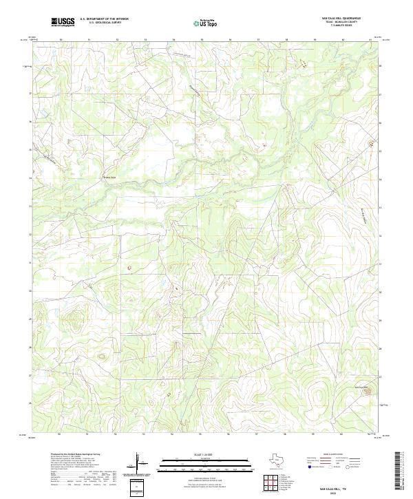
2022 Map of San Caja Hill
USGS Topo · Published 2022About this map
The Nueces River winds through this section of McMullen County, defining a landscape shaped by intermittent watercourses and ranching history. The terrain is marked by prominent elevations like San Caja Hill and Drakes Point, which rise above a network of drainages including Dragoon Cr and Hill Cr. These features, along with names like Lagrand Hollow and San Caja Hollow, suggest a legacy of local land use where water sources and high ground were critical for navigation and livestock. Infrastructure is sparse, characterized primarily by Four Sisters Ranch Rd, which provides access to the interior of these extensive landholdings. The presence of Old River indicates a shifting fluvial environment where the main channel has migrated over time, leaving behind traces of its former path across the brush country.
Find a feature on this map
11 named features on this map. Tap any name to fly to it.
Don’t see what you’re looking for? This feature index may not catch every label — zoom into the map to look around manually.
Map Details
Editions of this 2022 San Caja Hill Map
This is the sole edition of this map. No revisions or reprints were ever made.
Other maps of this area

1920 · Mikeska
USGS Topo · 1:125,000

1925 · Simmons No. 1
USGS Topo · 1:48,000

1925 · Tilden No. 1
USGS Topo · 1:48,000

1925 · Simmons No. 2
USGS Topo · 1:48,000

1929 · Simmons
USGS Topo · 1:62,500

1930 · Tilden
USGS Topo · 1:62,500

1937 · Loma Alta
USGS Topo · 1:62,500

1942 · Tilden
USGS Topo · 1:62,500

1953 · Crystal City
USGS Topo · 1:250,000

1955 · Crystal City
USGS Topo · 1:250,000