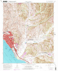
1968 Map of San Clemente
USGS Topo · Published 1978About this map
The coastal expansion of San Clemente during the late 1960s and mid-1970s is strikingly documented here, where residential growth pushes against the established boundaries of the Camp Pendleton Marine Corps Base. Along the shoreline of the Gulf of Santa Catalina, the iconic San Clemente Pier and San Clemente State Beach serve as focal points for the community's seaside identity. Inland, the landscape is defined by deep canyons such as Talega Canyon and Blind Canyon, which carve through the Mission Viejo and Las Flores regions.
Find a feature on this map
39 named features on this map. Tap any name to fly to it.
Don’t see what you’re looking for? This feature index may not catch every label — zoom into the map to look around manually.
Map Details
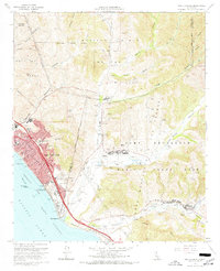
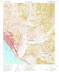
Editions of this 1968 San Clemente Map
3 editions found
Other maps of this area

1901 · Southern California Sheet No. 1
USGS Topo · 1:250,000

1901 · Elsinore
USGS Topo · 1:125,000

1901 · San Luis Rey
USGS Topo · 1:125,000

1902 · Capistrano
USGS Topo · 1:125,000

1902 · Corona
USGS Topo · 1:125,000

1904 · Southern California Sheet No. 2
USGS Topo · 1:250,000

1904 · Southern California Sheet No. 1
USGS Topo · 1:250,000

1906 · Capistrano
USGS Topo · 1:125,000

1941 · Margarita Peak
USGS Topo · 1:62,500

1942 · Lake Elsinore
USGS Topo · 1:62,500
Featured Places
- San Clemente, CA
- San Juan Capistrano, CA
- Marine Corps Base Camp Pendleton, CA
- San Onofre, Marine Corps Base Camp Pendleton
- San Diego County, CA