Loading...
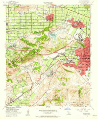
Loading map...1954 Map of San Dimas
USGS Topo · Published 1963About this map
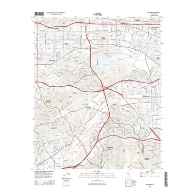
San Jose Hills and the Puente Hills dominate this mid-century landscape, framing a period of rapid institutional and academic expansion. The map documents two distinct campuses for the California State Polytechnic College (Voorhis) and the Kellogg campus, reflecting the era's focus on technical education and research. This transition is further highlighted by the Naval Ordnance Plant and the Pacific State Hospital, which stand as significant industrial and social landmarks between the residential developments of Pomona and San Dimas.
Find a feature on this map
60 named features on this map. Tap any name to fly to it.
Don’t see what you’re looking for? This feature index may not catch every label — zoom into the map to look around manually.
Map Details
Date Portrayed1954
Date Published1963
PublisherU.S. Geological Survey
Map TypeTopographic
Scale1:24,000
Physical Dimensions22 x 26.7 inches
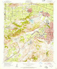
Editions of this 1954 San Dimas Map
2 editions found
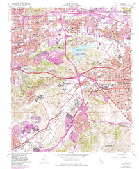
Historical Maps of Pomona Through Time
6 maps found
Featured Locations
Source Details
SourceU.S. Geological Survey
CopyrightPublic Domain