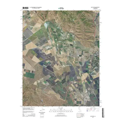
2015 Map of San Felipe
USGS Topo · Published 2015About this map
Hollister anchors the southern portion of this landscape, where the northern end of the Hollister Valley meets the southern reaches of the Santa Clara Valley. This modern era survey shows the intricate drainage systems that define the region's agricultural character, including the Tequisquita Slough, Millers Canal, and the Pajaro River. The map illustrates how transportation and aviation have shaped the local economy, featuring the Hollister Municipal Airport and the smaller Frazier Lake Airpark to the northwest.
Find a feature on this map
48 named features on this map. Tap any name to fly to it.
Don’t see what you’re looking for? This feature index may not catch every label — zoom into the map to look around manually.
Map Details
Editions of this 2015 San Felipe Map
This is the sole edition of this map. No revisions or reprints were ever made.
Other maps of this area

1915 · San Juan Bautista
USGS Topo · 1:48,000

1917 · Morgan Hill
USGS Topo · 1:62,500

1917 · San Juan Bautista
USGS Topo · 1:62,500

1919 · Hollister
USGS Topo · 1:48,000

1921 · Gilroy Hot Springs
USGS Topo · 1:62,500

1921 · Hollister
USGS Topo · 1:62,500

1923 · Hollister
USGS Topo · 1:62,500

1939 · Morgan Hill
USGS Topo · 1:62,500

1939 · Gilroy Hot Springs
USGS Topo · 1:62,500

1939 · San Juan Bautista
USGS Topo · 1:62,500