
1960 Map of San Felipe
USGS Topo · Published 1961About this map
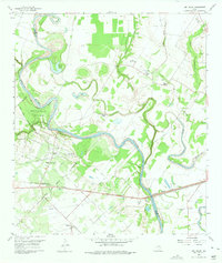
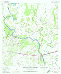
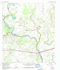
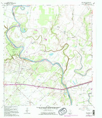
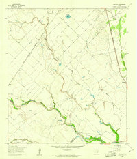
The Brazos River meanders sharply through this landscape on the boundary of Waller and Austin counties, anchoring a region defined by its colonial history and mid-century rural development. San Felipe, once the heart of Stephen F. Austin’s colony, is shown during a period of industrial shifts, where the Missouri Kansas Texas Railroad and the San Felipe Oil Field operate alongside traditional agricultural lands. The map reveals a dense network of local landmarks, including many family-named cemeteries such as Rosses Cem and Kountze Cem, alongside essential community hubs like Clemons High Sch and Wesley Chapel. To the south, the settlement of Frydek serves as a secondary focal point, while the Stephen F Austin State Park preserves the riverfront loops and oxbows, including Garret Lake, providing a clear view of the natural and cultural geography of the area before modern expansion.
Find a feature on this map
39 named features on this map. Tap any name to fly to it.
Don’t see what you’re looking for? This feature index may not catch every label — zoom into the map to look around manually.
Map Details
Editions of this 1960 San Felipe Map
5 editions found
Other maps of this area

1950 · Houston
USGS Topo · 1:250,000

1953 · Seguin
USGS Topo · 1:250,000

1955 · Brookshire
USGS Topo · 1:62,500

1955 · Richmond
USGS Topo · 1:62,500

1956 · Sealy
USGS Topo · 1:62,500

1956 · Wallis
USGS Topo · 1:62,500

1956 · Houston
USGS Topo · 1:250,000

1958 · Seguin
USGS Topo · 1:250,000

1960 · Wallis
USGS Topo · 1:24,000
1960 · Rexville
USGS Topo · 1:24,000