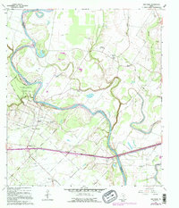
1960 Map of San Felipe
USGS Topo · Published 1995About this map
The Brazos River creates a winding natural boundary between Austin and Waller counties, anchoring a landscape defined by its historic Texas foundations and mid-century energy production. Much of the western bank is dedicated to the Stephen F. Austin State Park, while the nearby town of San Felipe serves as a focal point for the region's civic life, complete with its townhall and proximity to the San Felipe Siding. To the east, the San Felipe Oil Field and scattered oil wells reflect the industrial character of the 1960s, a sharp contrast to the dense concentration of family-named cemeteries and rural churches.
Find a feature on this map
39 named features on this map. Tap any name to fly to it.
Don’t see what you’re looking for? This feature index may not catch every label — zoom into the map to look around manually.
Map Details
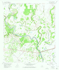
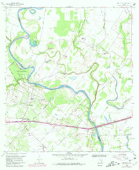
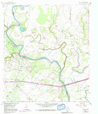
Editions of this 1960 San Felipe Map
5 editions found
Other maps of this area

1950 · Houston
USGS Topo · 1:250,000

1953 · Seguin
USGS Topo · 1:250,000

1955 · Brookshire
USGS Topo · 1:62,500

1955 · Richmond
USGS Topo · 1:62,500

1956 · Sealy
USGS Topo · 1:62,500

1956 · Wallis
USGS Topo · 1:62,500

1956 · Houston
USGS Topo · 1:250,000

1958 · Seguin
USGS Topo · 1:250,000

1960 · Wallis
USGS Topo · 1:24,000

1960 · San Felipe
USGS Topo · 1:24,000