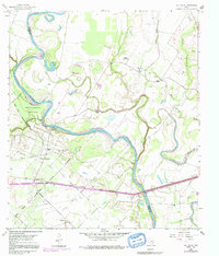
1960 Map of San Felipe
USGS Topo · Published 1991About this map
The Brazos River creates a winding natural boundary through this Texas landscape, anchoring the historic town of San Felipe. The settlement patterns here reflect a mix of rural agriculture and early energy development, with the San Felipe Oil Field and numerous family-named landmarks spread across the undulating terrain. A high concentration of community centers such as Wesley Chapel, Williams Chapel, and Clemons High Sch highlights the social fabric of the area during the mid-20th century.
Find a feature on this map
39 named features on this map. Tap any name to fly to it.
Don’t see what you’re looking for? This feature index may not catch every label — zoom into the map to look around manually.
Map Details
Editions of this 1960 San Felipe Map
5 editions found
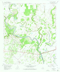
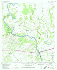
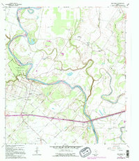
Other maps of this area

1950 · Houston
USGS Topo · 1:250,000

1953 · Seguin
USGS Topo · 1:250,000

1955 · Brookshire
USGS Topo · 1:62,500

1955 · Richmond
USGS Topo · 1:62,500

1956 · Sealy
USGS Topo · 1:62,500

1956 · Wallis
USGS Topo · 1:62,500

1956 · Houston
USGS Topo · 1:250,000

1958 · Seguin
USGS Topo · 1:250,000

1960 · Wallis
USGS Topo · 1:24,000

1960 · San Felipe
USGS Topo · 1:24,000