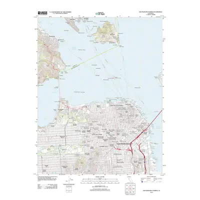
2012 Map of San Francisco North
USGS Topo · Published 2012About this map
San Francisco and its northern waterfront appear here in a modern survey, capturing the dense urban fabric from the Mission District to the historic Presidio Terrace. The map documents the city's complex topography and transit nodes, including the Stockton Street Tunnel and the Sausalito Ferry Terminal across the Golden Gate. Significant cultural and institutional hubs are identified, such as Haight-Ashbury and several campuses like the University of San Francisco.
Find a feature on this map
201 named features on this map. Tap any name to fly to it.
Don’t see what you’re looking for? This feature index may not catch every label — zoom into the map to look around manually.
Map Details
Editions of this 2012 San Francisco North Map
This is the sole edition of this map. No revisions or reprints were ever made.
Other maps of this area

1892 · San Mateo
USGS Topo · 1:62,500

1895 · San Francisco
USGS Topo · 1:62,500

1896 · San Mateo
USGS Topo · 1:62,500

1897 · Tamalpais
USGS Topo · 1:62,500

1899 · San Francisco
USGS Topo · 1:62,500

1899 · San Mateo
USGS Topo · 1:62,500

1915 · San Mateo
USGS Topo · 1:62,500

1915 · San Francisco
USGS Topo · 1:62,500

1939 · San Mateo
USGS Topo · 1:62,500

1941 · Tamalpais
USGS Topo · 1:62,500