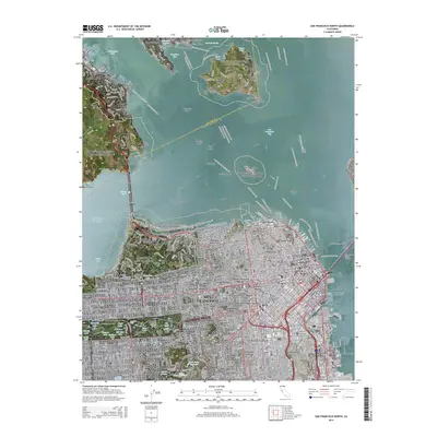
2015 Map of San Francisco North
USGS Topo · Published 2015About this map
Presidio of San Francisco and the northern waterfront dominate this modern perspective of the city, showing the dense neighborhood grids and historic military grounds that define the gateway to the bay. The map illustrates the specialized character of local districts, from the commercial heart of Chinatown and the cultural enclave of Little Italy to the residential heights of Nob Hill and the Mission District. The survey provides a clear view of the city's complex topography, including Twin Peaks and Mt Sutro, which stand in contrast to the engineered shoreline of the Marina District.
Find a feature on this map
126 named features on this map. Tap any name to fly to it.
Don’t see what you’re looking for? This feature index may not catch every label — zoom into the map to look around manually.
Map Details
Editions of this 2015 San Francisco North Map
This is the sole edition of this map. No revisions or reprints were ever made.
Other maps of this area

1892 · San Mateo
USGS Topo · 1:62,500

1895 · San Francisco
USGS Topo · 1:62,500

1896 · San Mateo
USGS Topo · 1:62,500

1897 · Tamalpais
USGS Topo · 1:62,500

1899 · San Francisco
USGS Topo · 1:62,500

1899 · San Mateo
USGS Topo · 1:62,500

1915 · San Mateo
USGS Topo · 1:62,500

1915 · San Francisco
USGS Topo · 1:62,500

1939 · San Mateo
USGS Topo · 1:62,500

1941 · Tamalpais
USGS Topo · 1:62,500