2012 Map of San Francisco South OE W
USGS Topo · Published 2012About this map
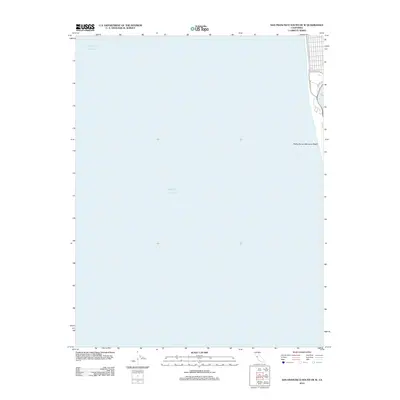
The western edge of San Francisco meets the open water of the Pacific Ocean on this shoreline study. Most of the map area covers the sea, while the thin terrestrial strip on the eastern margin captures a specific moment in the city's modern coastal layout. The northern section reveals the urban grid as it reaches the coast, intersected by prominent thoroughfares like Sloat Blvd and the iconic Great Hwy that runs parallel to the breakers. Just south of these intersections, the map shows the westernmost portion of Lake Merced and the access point at Zoo Rd. This coastal edge is defined by the Phillip Burton Memorial Beach, illustrating the interface between the urban environment and the protected natural sands of the shoreline in the early 21st century.
Find a feature on this map
6 named features on this map. Tap any name to fly to it.
Don’t see what you’re looking for? This feature index may not catch every label — zoom into the map to look around manually.
Map Details
Editions of this 2012 San Francisco South OE W Map
This is the sole edition of this map. No revisions or reprints were ever made.
Other maps of this area

1892 · San Mateo
USGS Topo · 1:62,500

1895 · San Francisco
USGS Topo · 1:62,500

1896 · San Mateo
USGS Topo · 1:62,500

1897 · Tamalpais
USGS Topo · 1:62,500

1899 · San Francisco
USGS Topo · 1:62,500

1899 · San Mateo
USGS Topo · 1:62,500

1915 · San Mateo
USGS Topo · 1:62,500

1915 · San Francisco
USGS Topo · 1:62,500

1939 · San Mateo
USGS Topo · 1:62,500

1941 · Tamalpais
USGS Topo · 1:62,500