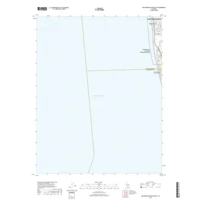
2018 Map of San Francisco South OE W
USGS Topo · Published 2018About this map
San Francisco meets the vast expanse of the Pacific Ocean along this coastal stretch of the city. The residential blocks of the Sunset District terminate at the western edge, organized by a precise grid of streets including Rivera St, Ulloa St, and Wawona St. This map documents the thin margin where urban development gives way to the Golden Gate National Recreation Area. Parallel to the shore, the Great Hwy and Upper Great Hwy serve as the primary conduits for seaside traffic, while the Coastal Trail and Chip Trail provide pedestrian access through the preserved bluffs. South of Sloat Blvd, the terrain descends toward Phillip Burton Memorial Beach, marking the transition across the San Francisco Co San Mateo Co line.
Find a feature on this map
20 named features on this map. Tap any name to fly to it.
Don’t see what you’re looking for? This feature index may not catch every label — zoom into the map to look around manually.
Map Details
Editions of this 2018 San Francisco South OE W Map
This is the sole edition of this map. No revisions or reprints were ever made.
Other maps of this area

1892 · San Mateo
USGS Topo · 1:62,500

1895 · San Francisco
USGS Topo · 1:62,500

1896 · San Mateo
USGS Topo · 1:62,500

1897 · Tamalpais
USGS Topo · 1:62,500

1899 · San Francisco
USGS Topo · 1:62,500

1899 · San Mateo
USGS Topo · 1:62,500

1915 · San Mateo
USGS Topo · 1:62,500

1915 · San Francisco
USGS Topo · 1:62,500

1939 · San Mateo
USGS Topo · 1:62,500

1941 · Tamalpais
USGS Topo · 1:62,500