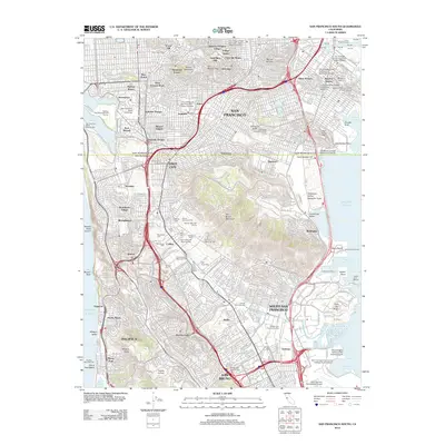
2012 Map of San Francisco South
USGS Topo · Published 2012About this map
Mount Davidson stands as a central peak in this detailed 2012 survey, overlooking a dense urban landscape that stretches from the residential enclaves of Saint Francis Wood and Ingleside to the industrial waterfront. The map captures a unique concentration of memorial sites in the south, particularly in Colma, where Cypress Lawn Memorial Park, Holy Cross Cem, and the Japanese Cem dominate the local geography. This concentration reflects the regional historical shift of burial sites from the city proper to this specialized necropolis.
Find a feature on this map
107 named features on this map. Tap any name to fly to it.
Don’t see what you’re looking for? This feature index may not catch every label — zoom into the map to look around manually.
Map Details
Editions of this 2012 San Francisco South Map
This is the sole edition of this map. No revisions or reprints were ever made.
Other maps of this area

1892 · San Mateo
USGS Topo · 1:62,500

1895 · San Francisco
USGS Topo · 1:62,500

1896 · San Mateo
USGS Topo · 1:62,500

1897 · Tamalpais
USGS Topo · 1:62,500

1899 · San Francisco
USGS Topo · 1:62,500

1899 · San Mateo
USGS Topo · 1:62,500

1915 · San Mateo
USGS Topo · 1:62,500

1915 · San Francisco
USGS Topo · 1:62,500

1939 · San Mateo
USGS Topo · 1:62,500

1941 · Tamalpais
USGS Topo · 1:62,500