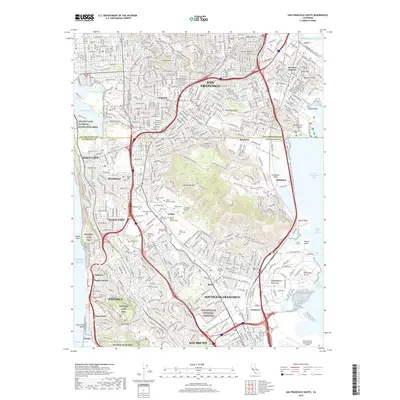
2018 Map of San Francisco South
USGS Topo · Published 2018About this map
Colma serves as a unique focal point for genealogical research in this 2018 survey, which documents the extensive network of burial grounds south of San Francisco. The map preserves the names and boundaries of numerous denominational and ethnic cemeteries, including the Japanese Cem, Italian Cem, Serbian Cem, and Russian Sectarian Cem, alongside the sprawling Golden Gate National Cemetery. This dense concentration of memorial parks reflects the mid-19th-century transition when burials were relocated out of the city proper.
Find a feature on this map
72 named features on this map. Tap any name to fly to it.
Don’t see what you’re looking for? This feature index may not catch every label — zoom into the map to look around manually.
Map Details
Editions of this 2018 San Francisco South Map
This is the sole edition of this map. No revisions or reprints were ever made.
Other maps of this area

1892 · San Mateo
USGS Topo · 1:62,500

1895 · San Francisco
USGS Topo · 1:62,500

1896 · San Mateo
USGS Topo · 1:62,500

1897 · Tamalpais
USGS Topo · 1:62,500

1899 · San Francisco
USGS Topo · 1:62,500

1899 · San Mateo
USGS Topo · 1:62,500

1915 · San Mateo
USGS Topo · 1:62,500

1915 · San Francisco
USGS Topo · 1:62,500

1939 · San Mateo
USGS Topo · 1:62,500

1941 · Tamalpais
USGS Topo · 1:62,500