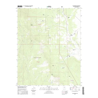
2017 Map of San Geronimo
USGS Topo · Published 2017About this map
San Geronimo and San Pablo occupy the valley terrain between the Santa Fe National Forest and the high ridges of the Sangre de Cristo Mountains. The landscape is defined by its canyon systems and water sources, including Cabo Lucero Cr and Tecolote Cr, which historically dictated the pattern of local settlement. The eastern portion of the map centers on the small communities along these waterways, where the San Geronimo Cem and San Pablo Cem provide important genealogical touchpoints. Moving west, the topography rises sharply toward Barillas Peak and the Santa Fe Mountains. This transition from the populated valley floor to the protected forest land reveals a classic northern New Mexico settlement pattern, where narrow valley floors supported small agricultural clusters while the higher peaks, such as Fisher Hill and El Barro Peaks, remained primary wilderness for timber and grazing.
Find a feature on this map
47 named features on this map. Tap any name to fly to it.
Don’t see what you’re looking for? This feature index may not catch every label — zoom into the map to look around manually.
Map Details
Editions of this 2017 San Geronimo Map
This is the sole edition of this map. No revisions or reprints were ever made.
Other maps of this area

1889 · Las Vegas
USGS Topo · 1:125,000

1889 · Santa Fe
USGS Topo · 1:125,000

1890 · Bernal
USGS Topo · 1:125,000

1891 · Bernal
USGS Topo · 1:125,000

1891 · Las Vegas
USGS Topo · 1:125,000

1893 · Las Vegas
USGS Topo · 1:125,000

1894 · Santa Fe
USGS Topo · 1:125,000

1894 · Bernal
USGS Topo · 1:125,000

1894 · Lamy
USGS Topo · 1:125,000

1954 · Santa Fe
USGS Topo · 1:250,000