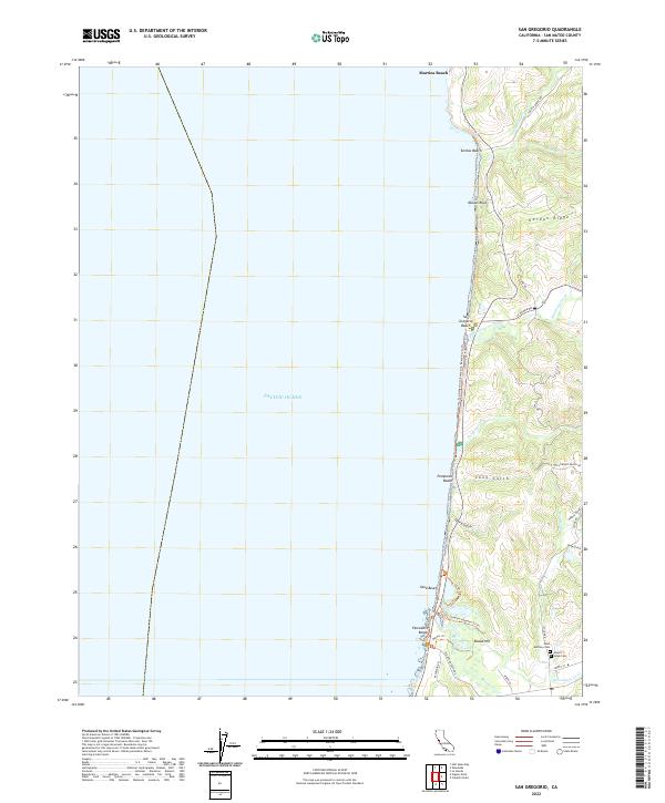
2022 Map of San Gregorio
USGS Topo · Published 2022About this map
The coastal settlement of Pescadero serves as the inland anchor for this stretch of the Pacific coastline, where steep ridges meet the sea. This contemporary survey details the complex network of drainage systems and gulches, such as Long Gulch and Dairy Gulch, that define the local geography. Significant for genealogists and local historians, the map identifies Saint Anthony Cem and Mount Hope Cem situated near the southern edge of the quadrangle.
Find a feature on this map
42 named features on this map. Tap any name to fly to it.
Don’t see what you’re looking for? This feature index may not catch every label — zoom into the map to look around manually.
Map Details
Editions of this 2022 San Gregorio Map
This is the sole edition of this map. No revisions or reprints were ever made.
Other maps of this area

1902 · Santa Cruz
USGS Topo · 1:125,000

1940 · Halfmoon Bay
USGS Topo · 1:62,500

1940 · Ano Nuevo
USGS Topo · 1:62,500

1941 · Ano Nuevo Pt.
USGS Topo · 1:62,500

1942 · Ano Nuevo
USGS Topo · 1:62,500

1943 · Halfmoon Bay
USGS Topo · 1:62,500

1947 · San Francisco
USGS Topo · 1:250,000

1948 · San Francisco
USGS Topo · 1:250,000

1948 · Ano Nuevo
USGS Topo · 1:62,500
1952 · Half Moon Bay
USGS Topo · 1:24,000