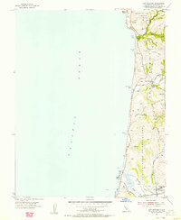
1955 Map of San Gregorio
USGS Topo · Published 1956About this map
Pescadero and San Gregorio anchor this mid-1950s survey of the San Mateo coast, where ancient Mexican land grant divisions still define the landscape. The large-scale boundaries of the San Gregorio (Rodriguez) Grant Boundary and the San Antonio or Pescadero Grant Boundary emphasize the region's ranching heritage, even as the Old Coast Hwy began facilitating modernization. Local civic life is centered around rural institutions like the Seaside School and the Elementary Sch in Pescadero, alongside a notable Cem. The coastal geography is marked by several significant drainages, including Tunitas Creek and Pescadero Creek, which meet the Pacific Ocean at sandy stretches like Pomponio Beach. This period reflects the area's agricultural character before the significant expansion of modern coastal infrastructure.
Find a feature on this map
26 named features on this map. Tap any name to fly to it.
Don’t see what you’re looking for? This feature index may not catch every label — zoom into the map to look around manually.
Map Details
Editions of this 1955 San Gregorio Map
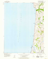
2 editions found
Other maps of this area

1902 · Santa Cruz
USGS Topo · 1:125,000

1940 · Halfmoon Bay
USGS Topo · 1:62,500

1940 · Ano Nuevo
USGS Topo · 1:62,500

1941 · Ano Nuevo Pt.
USGS Topo · 1:62,500

1942 · Ano Nuevo
USGS Topo · 1:62,500

1943 · Halfmoon Bay
USGS Topo · 1:62,500

1947 · San Francisco
USGS Topo · 1:250,000

1948 · San Francisco
USGS Topo · 1:250,000

1948 · Ano Nuevo
USGS Topo · 1:62,500
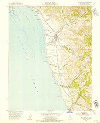
1952 · Half Moon Bay
USGS Topo · 1:24,000