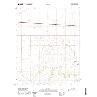
2023 Map of San Ignacio
USGS Topo · Published 2023About this map
San Ignacio sits at the heart of this Guadalupe County landscape, where the Pintada Arroyo carves a path through the high plains. The settlement is anchored by the San Ignacio Cem, while the surrounding terrain is defined by deep recesses in the mesas such as Rincon de la Manzanita and Rincon de Ebaristo. This modern survey illustrates the persistent ranching and transit patterns of eastern New Mexico, with Tapia Ranch and the small outpost of Puerto Haspe marking local land use. In the northern reaches, the waters of Bull Lake contrast with the dry drainages of Cañada Bonita and Arroyo Hernandez. Modern infrastructure is represented by the transit hub at Vegas Junction, showing how contemporary highways follow the logic of the older land grants and natural corridors through the rangeland.
Find a feature on this map
18 named features on this map. Tap any name to fly to it.
Don’t see what you’re looking for? This feature index may not catch every label — zoom into the map to look around manually.
Map Details
Editions of this 2023 San Ignacio Map
This is the sole edition of this map. No revisions or reprints were ever made.
Other maps of this area

1890 · Bernal
USGS Topo · 1:125,000

1891 · Bernal
USGS Topo · 1:125,000

1892 · Corazon
USGS Topo · 1:125,000

1894 · Corazon
USGS Topo · 1:125,000

1894 · Bernal
USGS Topo · 1:125,000

1954 · Santa Fe
USGS Topo · 1:250,000

1954 · Fort Sumner
USGS Topo · 1:250,000

1958 · Fort Sumner
USGS Topo · 1:250,000

1958 · Santa Fe
USGS Topo · 1:250,000

1963 · Colonias
USGS Topo · 1:24,000