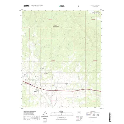
2020 Map of San Jose
USGS Topo · Published 2020About this map
The Pecos River carves a deep valley through this portion of San Miguel County, anchoring a series of small riverside settlements including San Jose, Lucero, and El Ancon. These communities are situated along the river's path as it winds south of the Santa Fe National Forest, which dominates the northern half of the landscape. The geography is defined by a complex network of canyons and arroyos, such as La Madera Canyon and Telephone Canyon, which drain into the river system. Local transit is concentrated along the river corridor, where the Santa Ana Frontage Rd and other local routes connect the valley floor to the higher elevations of the forest. The map reveals the classic New Mexican settlement pattern of clustered villages established near reliable water sources amidst a landscape of steep topography and numerous seasonal drainages like Corrales Cr and Mortandad Cr.
Find a feature on this map
42 named features on this map. Tap any name to fly to it.
Don’t see what you’re looking for? This feature index may not catch every label — zoom into the map to look around manually.
Map Details
Editions of this 2020 San Jose Map
This is the sole edition of this map. No revisions or reprints were ever made.
Other maps of this area

1889 · Las Vegas
USGS Topo · 1:125,000

1889 · Santa Fe
USGS Topo · 1:125,000

1890 · Bernal
USGS Topo · 1:125,000

1891 · Bernal
USGS Topo · 1:125,000

1891 · Las Vegas
USGS Topo · 1:125,000

1893 · Las Vegas
USGS Topo · 1:125,000

1894 · Santa Fe
USGS Topo · 1:125,000

1894 · Bernal
USGS Topo · 1:125,000

1894 · Lamy
USGS Topo · 1:125,000

1954 · Santa Fe
USGS Topo · 1:250,000