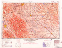
1956 Map of San Jose
USGS Topo · Published 1956About this map
The Diablo Range and Santa Cruz Mountains frame this mid-century look at Central California, where the agricultural heart of the Santa Clara Valley meets the rising urban centers of San Jose and Stockton. The map traces the industrial and logistical backbone of the era, from the heavy rail lines of the Southern Pacific and Western Pacific to the strategic presence of Castle AFB in the Central Valley.
Find a feature on this map
215 named features on this map. Tap any name to fly to it.
Don’t see what you’re looking for? This feature index may not catch every label — zoom into the map to look around manually.
Map Details
Editions of this 1956 San Jose Map
This is the sole edition of this map. No revisions or reprints were ever made.
Other maps of this area

1889 · Jackson
USGS Topo · 1:125,000
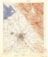
1889 · San Jose
USGS Topo · 1:62,500

1891 · Big Trees
USGS Topo · 1:125,000

1892 · Jackson
USGS Topo · 1:125,000

1893 · Sonora
USGS Topo · 1:125,000

1894 · Big Trees
USGS Topo · 1:125,000

1894 · Lodi
USGS Topo · 1:125,000
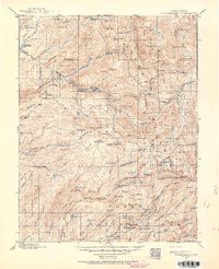
1896 · Dardanelles
USGS Topo · 1:125,000
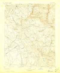
1896 · Sonora
USGS Topo · 1:125,000

1896 · Carquinez Strait
USGS Topo · 1:62,500