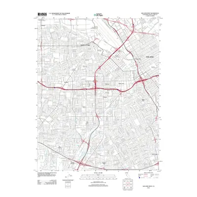
2012 Map of San Jose West
USGS Topo · Published 2012About this map
The Santa Clara and western San Jose urban corridor is defined by a dense network of residential streets and historic institutions in this 2012 survey. The landscape is anchored by educational and civic landmarks including Santa Clara University, Bellarmine College Preparatory School, and San Jose City College. Significant green spaces and legacy sites like Mission City Memorial Park and Santa Clara Catholic Cem provide historical anchoring amidst the modern development.
Find a feature on this map
189 named features on this map. Tap any name to fly to it.
Don’t see what you’re looking for? This feature index may not catch every label — zoom into the map to look around manually.
Map Details
Editions of this 2012 San Jose West Map
This is the sole edition of this map. No revisions or reprints were ever made.
Other maps of this area

1889 · San Jose
USGS Topo · 1:62,500

1897 · San Jose
USGS Topo · 1:62,500

1897 · Palo Alto
USGS Topo · 1:62,500

1899 · San Jose
USGS Topo · 1:62,500

1899 · Palo Alto
USGS Topo · 1:62,500

1902 · Santa Cruz
USGS Topo · 1:125,000

1916 · New Almaden
USGS Topo · 1:48,000

1919 · New Almaden
USGS Topo · 1:62,500

1940 · Los Gatos
USGS Topo · 1:62,500

1941 · Palo Alto
USGS Topo · 1:62,500