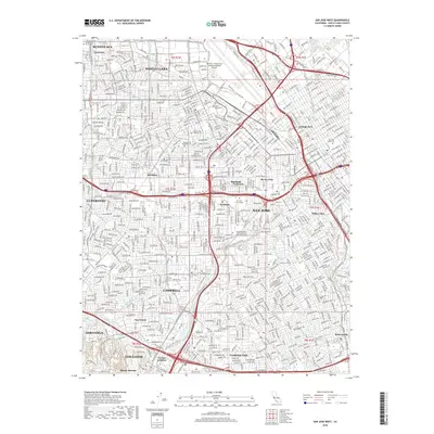
2018 Map of San Jose West
USGS Topo · Published 2018About this map
The Guadalupe River and Los Gatos Creek converge in this densely developed corridor of the Santa Clara Valley, illustrating the 21st-century footprint of the South Bay. This area is anchored by major educational and civic institutions, including Santa Clara Univ and San Jose State Univ, which sit amidst a grid of long-established neighborhoods like Willow Glen and Burbank. The landscape reflects the transition from early agricultural origins to a major metropolitan hub, visible in the industrial layouts near College Park and the expansive grounds of the Norman Y Mineta San Jose International Airport. Local history is preserved in sites such as the Santa Clara Catholic Cem and Mission City Memorial Park, while the suburban expansion reaches toward the foothills near Los Gatos and Monte Sereno.
Find a feature on this map
44 named features on this map. Tap any name to fly to it.
Don’t see what you’re looking for? This feature index may not catch every label — zoom into the map to look around manually.
Map Details
Editions of this 2018 San Jose West Map
This is the sole edition of this map. No revisions or reprints were ever made.
Other maps of this area

1889 · San Jose
USGS Topo · 1:62,500

1897 · San Jose
USGS Topo · 1:62,500

1897 · Palo Alto
USGS Topo · 1:62,500

1899 · San Jose
USGS Topo · 1:62,500

1899 · Palo Alto
USGS Topo · 1:62,500

1902 · Santa Cruz
USGS Topo · 1:125,000

1916 · New Almaden
USGS Topo · 1:48,000

1919 · New Almaden
USGS Topo · 1:62,500

1940 · Los Gatos
USGS Topo · 1:62,500

1941 · Palo Alto
USGS Topo · 1:62,500