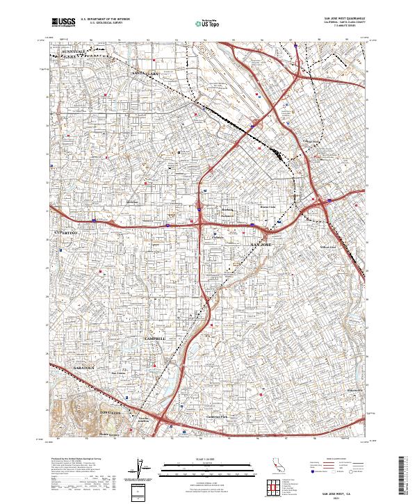
2021 Map of San Jose West
USGS Topo · Published 2021About this map
The Guadalupe River and Los Gatos Creek anchor this highly developed landscape of the Silicon Valley region. The map details a dense urban and suburban corridor where historic educational institutions like Santa Clara University and San Jose State University are surrounded by established neighborhoods and modern infrastructure. Civic history is particularly well-represented through the concentration of legal landmarks, including the Santa Clara County Old Courthouse and the Santa Clara County Hall of Justice. Toward the southern and western margins, the terrain transitions into the foothills near Los Gatos and Saratoga, marked by features like Vasona Junction and the Los Gatos Creek Trl. From the commercial activity near Norman Y Mineta San Jose International Airport to the quiet grounds of the Santa Clara Catholic Cem, the map documents the complex layering of municipal boundaries and transportation arteries like El Camino Real.
Find a feature on this map
56 named features on this map. Tap any name to fly to it.
Don’t see what you’re looking for? This feature index may not catch every label — zoom into the map to look around manually.
Map Details
Editions of this 2021 San Jose West Map
This is the sole edition of this map. No revisions or reprints were ever made.
Other maps of this area

1889 · San Jose
USGS Topo · 1:62,500

1897 · San Jose
USGS Topo · 1:62,500

1897 · Palo Alto
USGS Topo · 1:62,500

1899 · San Jose
USGS Topo · 1:62,500

1899 · Palo Alto
USGS Topo · 1:62,500

1902 · Santa Cruz
USGS Topo · 1:125,000

1916 · New Almaden
USGS Topo · 1:48,000

1919 · New Almaden
USGS Topo · 1:62,500

1940 · Los Gatos
USGS Topo · 1:62,500

1941 · Palo Alto
USGS Topo · 1:62,500