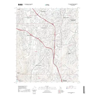
2018 Map of San Juan Capistrano
USGS Topo · Published 2018About this map
San Juan Capistrano and the surrounding South Orange County hills appear here as a densely developed suburban landscape punctuated by significant canyon corridors. The transition from the Pacific Ocean at Laguna Beach and South Laguna inland toward the Sheep Hills and Wood Canyon reveals a complex network of planned communities such as Aliso Viejo, Laguna Niguel, and Ladera Ranch. Higher education is a notable anchor for the region, represented by Saddleback College and Soka Univ of America.
Find a feature on this map
40 named features on this map. Tap any name to fly to it.
Don’t see what you’re looking for? This feature index may not catch every label — zoom into the map to look around manually.
Map Details
Editions of this 2018 San Juan Capistrano Map
This is the sole edition of this map. No revisions or reprints were ever made.
Other maps of this area

1896 · Santa Ana
USGS Topo · 1:62,500

1901 · Southern California Sheet No. 1
USGS Topo · 1:250,000
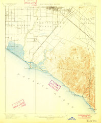
1901 · Santa Ana
USGS Topo · 1:62,500
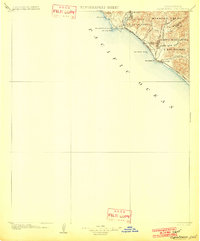
1902 · Capistrano
USGS Topo · 1:125,000

1902 · Corona
USGS Topo · 1:125,000

1904 · Southern California Sheet No. 2
USGS Topo · 1:250,000

1904 · Southern California Sheet No. 1
USGS Topo · 1:250,000
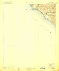
1906 · Capistrano
USGS Topo · 1:125,000
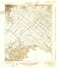
1932 · Tustin
USGS Topo · 1:31,680
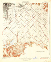
1935 · Tustin
USGS Topo · 1:31,680