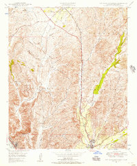
1948 Map of San Juan Capistrano
USGS Topo · Published 1957About this map
San Juan Capistrano serves as the focal point of this late 1940s landscape, where the historic Mission stands near the confluence of Arroyo Trabuco and San Juan Creek. This era captures Orange County before the massive suburban expansions of the late 20th century, showing a region defined by large land grants like Mission Viejo and Trabuco. The transportation corridor is anchored by the Atchison Topeka and Santa Fe railroad and highway 101, which run parallel through the valley, connecting the small settlement of Galivan to the coast.
Find a feature on this map
25 named features on this map. Tap any name to fly to it.
Don’t see what you’re looking for? This feature index may not catch every label — zoom into the map to look around manually.
Map Details
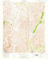
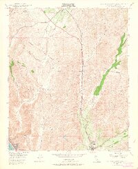
Editions of this 1948 San Juan Capistrano Map
3 editions found
Other maps of this area

1896 · Santa Ana
USGS Topo · 1:62,500

1901 · Southern California Sheet No. 1
USGS Topo · 1:250,000

1901 · Santa Ana
USGS Topo · 1:62,500

1902 · Capistrano
USGS Topo · 1:125,000

1902 · Corona
USGS Topo · 1:125,000

1904 · Southern California Sheet No. 2
USGS Topo · 1:250,000

1904 · Southern California Sheet No. 1
USGS Topo · 1:250,000

1906 · Capistrano
USGS Topo · 1:125,000

1932 · Tustin
USGS Topo · 1:31,680
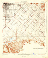
1935 · Tustin
USGS Topo · 1:31,680