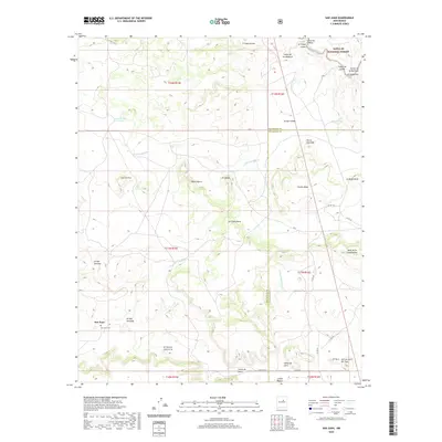
2020 Map of San Juan
USGS Topo · Published 2020About this map
The San Juan settlement and its nearby San Juan Cem occupy a high-elevation plateau in the high desert of northern New Mexico, just south of the Santa Fe National Forest. This landscape is defined by its dramatic topography, where the Pecos River carves through the northeastern corner and numerous mesas like La Cabra Mesa and Mesa Segura dominate the terrain. The network of canyons, such as Cañon de Padre and Cañon de Ojito, suggests a historical reliance on these natural corridors for movement between the higher plateaus and lower drainage basins. Small clusters of habitation are scattered across the quadrangle, including Los Cerritos and El Aguila, while the boundary between San Miguel and Guadalupe counties cuts across the mesa lands. The presence of features like Empedrado Tank and Laguna del Gallego indicates the importance of managed water resources in this arid environment.
Find a feature on this map
48 named features on this map. Tap any name to fly to it.
Don’t see what you’re looking for? This feature index may not catch every label — zoom into the map to look around manually.
Map Details
Editions of this 2020 San Juan Map
This is the sole edition of this map. No revisions or reprints were ever made.
Other maps of this area

1890 · Bernal
USGS Topo · 1:125,000

1891 · Bernal
USGS Topo · 1:125,000

1894 · Bernal
USGS Topo · 1:125,000

1954 · Santa Fe
USGS Topo · 1:250,000

1958 · Santa Fe
USGS Topo · 1:250,000

1960 · Villanueva
USGS Topo · 1:62,500

1960 · Apache Springs
USGS Topo · 1:62,500

1963 · Jacinto Mesa
USGS Topo · 1:24,000
1963 · Anton Chico
USGS Topo · 1:24,000
1963 · Mesa Palo Amarillo
USGS Topo · 1:24,000