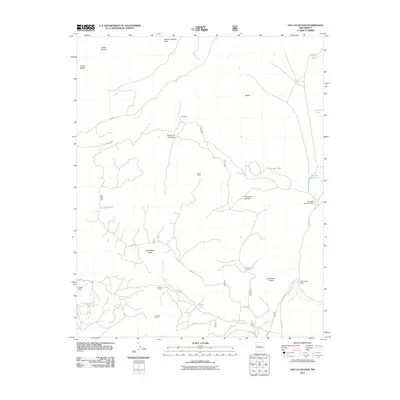
2011 Map of San Lucas Dam
USGS Topo · Published 2011About this map
Mining operations and water management define this McKinley County landscape, where industrial activity is mapped alongside traditional land features. The extraction history of the region is evident through the presence of the Cliffside Mine and a designated Uranium Deposit in the southwest, while a Drift Mine is situated further north. These sites are connected by a network of local routes including 192 RD and Jesus Mesa RD.
Find a feature on this map
28 named features on this map. Tap any name to fly to it.
Don’t see what you’re looking for? This feature index may not catch every label — zoom into the map to look around manually.
Map Details
Editions of this 2011 San Lucas Dam Map
This is the sole edition of this map. No revisions or reprints were ever made.
Other maps of this area

1883 · Mt. Taylor
USGS Topo · 1:250,000

1886 · Mt. Taylor
USGS Topo · 1:250,000

1892 · Mt. Taylor
USGS Topo · 1:250,000

1899 · Mt. Taylor
USGS Topo · 1:250,000

1957 · Ambrosia Lake
USGS Topo · 1:24,000

1957 · Dos Lomas
USGS Topo · 1:24,000

1958 · Albuquerque
USGS Topo · 1:250,000

1961 · El Dado
USGS Topo · 1:24,000

1961 · Piedra De La Aguila
USGS Topo · 1:24,000

1962 · Albuquerque
USGS Topo · 1:250,000