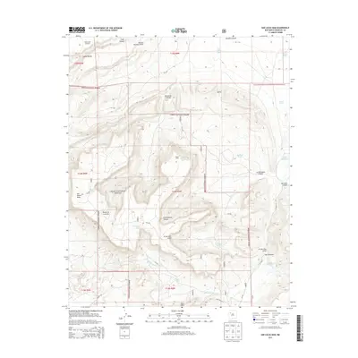
2013 Map of San Lucas Dam
USGS Topo · Published 2013About this map
Cibola National Forest encompasses the majority of this high-desert terrain in McKinley County, defined by a complex system of mesas and deep drainages. The landscape is characterized by prominent landforms such as San Mateo Mesa in the west and Jesus Mesa to the south, with numerous named canyons like Chole Canyon and La Polvadera Canyon carving through the plateau. A network of livestock water sources, including Jose Gabriel Tank, Michael Tank, and Dauber Tank, points to the area's grazing history.
Find a feature on this map
34 named features on this map. Tap any name to fly to it.
Don’t see what you’re looking for? This feature index may not catch every label — zoom into the map to look around manually.
Map Details
Editions of this 2013 San Lucas Dam Map
This is the sole edition of this map. No revisions or reprints were ever made.
Other maps of this area

1883 · Mt. Taylor
USGS Topo · 1:250,000

1886 · Mt. Taylor
USGS Topo · 1:250,000

1892 · Mt. Taylor
USGS Topo · 1:250,000

1899 · Mt. Taylor
USGS Topo · 1:250,000

1957 · Ambrosia Lake
USGS Topo · 1:24,000

1957 · Dos Lomas
USGS Topo · 1:24,000

1958 · Albuquerque
USGS Topo · 1:250,000

1961 · El Dado
USGS Topo · 1:24,000

1961 · Piedra De La Aguila
USGS Topo · 1:24,000

1962 · Albuquerque
USGS Topo · 1:250,000