2022 Map of San Luis
USGS Topo · Published 2022About this map
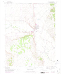
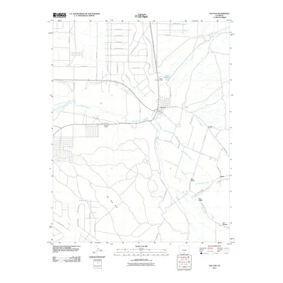
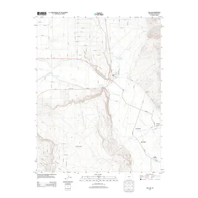
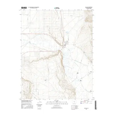
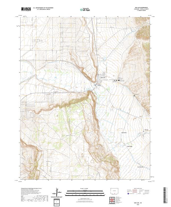
San Luis sits at the heart of this high-altitude landscape, where centuries of communal land and water management are still visible. The intricate irrigation network, including the San Luis Peoples Ditch, Cerro Ditch Number 1, and San Pedro Ditch Number 2, illustrates a legacy of shared water rights along Culebra Creek. The town plan of San Luis is clearly defined, anchored by the Costilla County Courthouse and a series of religious sites like the Church of God in Christ Cem. To the east, the terrain rises sharply into the Sangre de Cristo foothills, while the broad, flat San Pedro Mesa dominates the southwest. Scattered settlements like San Pedro, San Pablo, Chama, and Los Fuertes follow the valley floor, connected by secondary roads that trace the natural contours of Ventero Cr and Vallejos Cr.
Find a feature on this map
67 named features on this map. Tap any name to fly to it.
Don’t see what you’re looking for? This feature index may not catch every label — zoom into the map to look around manually.
Map Details
Editions of this 2022 San Luis Map
This is the sole edition of this map. No revisions or reprints were ever made.
Historical Maps of San Luis Through Time
6 maps found