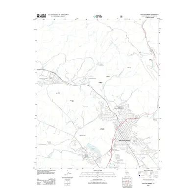
2012 Map of San Luis Obispo
USGS Topo · Published 2012About this map
San Luis Obispo sits at a geographic crossroads where the Los Osos Valley meets the volcanic peaks of the Morros. This modern survey illustrates the expansive reach of the California Polytechnic State University San Luis Obispo Campus and the adjacent military and correctional facilities of Camp San Luis Obispo and the California Mens Colony. The landscape is dominated by distinctive peaks including Bishop Peak, Chumash Peak, and Cerro San Luis Obispo, which define the local horizon.
Find a feature on this map
90 named features on this map. Tap any name to fly to it.
Don’t see what you’re looking for? This feature index may not catch every label — zoom into the map to look around manually.
Map Details
Editions of this 2012 San Luis Obispo Map
This is the sole edition of this map. No revisions or reprints were ever made.
Other maps of this area

1897 · Port Harford
USGS Topo · 1:62,500

1897 · San Luis Obispo
USGS Topo · 1:62,500

1897 · Cayucos
USGS Topo · 1:62,500

1897 · Arroyo Grande
USGS Topo · 1:62,500

1900 · San Luis
USGS Topo · 1:125,000

1937 · Cayucos
USGS Topo · 1:62,500

1941 · Port San Luis
USGS Topo · 1:62,500

1942 · San Luis Obispo
USGS Topo · 1:62,500

1942 · Arroyo Grande
USGS Topo · 1:62,500

1943 · Cayucos
USGS Topo · 1:62,500