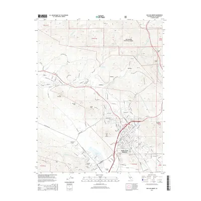
2015 Map of San Luis Obispo
USGS Topo · Published 2015About this map
San Luis Obispo sits at a geographic crossroads in this 2015 study, dominated by the iconic volcanic peaks known as the Morros. The landscape is defined by the steep elevation of Bishop Peak and Cerro San Luis Obispo, which tower over the city and the winding course of San Luis Obispo Creek. To the north, the terrain climbs toward Cuesta Pass and the southern edge of the Los Padres National Forest, marking the transition from the coastal valleys to the Santa Lucia Range.
Find a feature on this map
84 named features on this map. Tap any name to fly to it.
Don’t see what you’re looking for? This feature index may not catch every label — zoom into the map to look around manually.
Map Details
Editions of this 2015 San Luis Obispo Map
This is the sole edition of this map. No revisions or reprints were ever made.
Other maps of this area

1897 · Port Harford
USGS Topo · 1:62,500

1897 · San Luis Obispo
USGS Topo · 1:62,500

1897 · Cayucos
USGS Topo · 1:62,500

1897 · Arroyo Grande
USGS Topo · 1:62,500

1900 · San Luis
USGS Topo · 1:125,000

1937 · Cayucos
USGS Topo · 1:62,500

1941 · Port San Luis
USGS Topo · 1:62,500

1942 · San Luis Obispo
USGS Topo · 1:62,500

1942 · Arroyo Grande
USGS Topo · 1:62,500

1943 · Cayucos
USGS Topo · 1:62,500