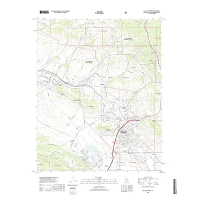
2018 Map of San Luis Obispo
USGS Topo · Published 2018About this map
San Luis Obispo serves as the focal point of this 2018 survey, where the historic El Camino Real meets modern thoroughfares like Foothill Blvd and Los Osos Valley RD. The map reveals the intricate urban-rural interface of the Central Coast, with the California Polytechnic State Univ - San Luis Obispo campus and Cuesta College anchoring the educational landscape. The terrain is defined by the Morros, or volcanic plugs, including the iconic Bishop Peak, Chumash Peak, and Cerro San Luis Obispo, which create a dramatic backdrop for the city’s residential expansion.
Find a feature on this map
57 named features on this map. Tap any name to fly to it.
Don’t see what you’re looking for? This feature index may not catch every label — zoom into the map to look around manually.
Map Details
Editions of this 2018 San Luis Obispo Map
This is the sole edition of this map. No revisions or reprints were ever made.
Other maps of this area

1897 · Port Harford
USGS Topo · 1:62,500

1897 · San Luis Obispo
USGS Topo · 1:62,500

1897 · Cayucos
USGS Topo · 1:62,500

1897 · Arroyo Grande
USGS Topo · 1:62,500

1900 · San Luis
USGS Topo · 1:125,000

1937 · Cayucos
USGS Topo · 1:62,500

1941 · Port San Luis
USGS Topo · 1:62,500

1942 · San Luis Obispo
USGS Topo · 1:62,500

1942 · Arroyo Grande
USGS Topo · 1:62,500

1943 · Cayucos
USGS Topo · 1:62,500