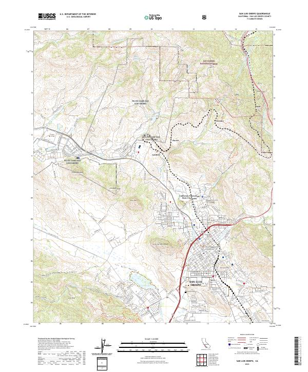
2021 Map of San Luis Obispo
USGS Topo · Published 2021About this map
San Luis Obispo sits at the heart of this coastal valley landscape, surrounded by the distinctive volcanic peaks of the Nine Sisters including Bishop Peak, Cerro San Luis Obispo, Chumash Peak, and Cerro Romualdo. The city's mid-century growth is evident, bordered by the campuses of California Polytechnic State University and Cuesta College. The Southern Pacific RR tracks wind through the northern terrain near the Cuesta Pass, connecting small railroad points like Serrano and Thyle. To the northwest, the NG ITC Camp San Luis Obispo military installation occupies the land below the Irish Hills, while the Los Osos Valley stretches toward the coast. Local heritage is preserved at sites like the Mission Cem and Sutcliffe Cem, while the Los Padres National Forest anchors the northern rugged boundary.
Find a feature on this map
67 named features on this map. Tap any name to fly to it.
Don’t see what you’re looking for? This feature index may not catch every label — zoom into the map to look around manually.
Map Details
Editions of this 2021 San Luis Obispo Map
This is the sole edition of this map. No revisions or reprints were ever made.
Other maps of this area

1897 · Port Harford
USGS Topo · 1:62,500

1897 · San Luis Obispo
USGS Topo · 1:62,500

1897 · Cayucos
USGS Topo · 1:62,500

1897 · Arroyo Grande
USGS Topo · 1:62,500

1900 · San Luis
USGS Topo · 1:125,000

1937 · Cayucos
USGS Topo · 1:62,500

1941 · Port San Luis
USGS Topo · 1:62,500

1942 · San Luis Obispo
USGS Topo · 1:62,500

1942 · Arroyo Grande
USGS Topo · 1:62,500

1943 · Cayucos
USGS Topo · 1:62,500