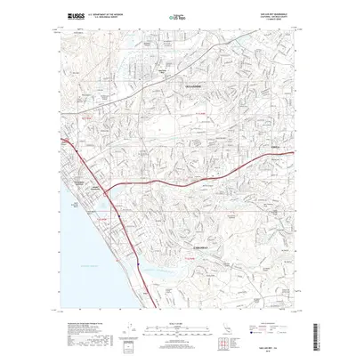
2018 Map of San Luis Rey
USGS Topo · Published 2018About this map
The San Luis Rey River valley and its surrounding coastal bluffs anchor this look at North San Diego County. Centered on the historic San Luis Rey community, the landscape reveals a dense network of suburban development intertwined with preserved open spaces and educational hubs like Mira Costa College. The map highlights the area's spiritual and commemorative history through multiple sites, including the Old Mission San Luis Rey Cem and the Prince of Peace Abbey Cem near Wire Mtn.
Find a feature on this map
58 named features on this map. Tap any name to fly to it.
Don’t see what you’re looking for? This feature index may not catch every label — zoom into the map to look around manually.
Map Details
Editions of this 2018 San Luis Rey Map
This is the sole edition of this map. No revisions or reprints were ever made.
Other maps of this area

1893 · Oceanside
USGS Topo · 1:62,500

1893 · Escondido
USGS Topo · 1:62,500

1898 · Oceanside
USGS Topo · 1:62,500

1901 · Escondido
USGS Topo · 1:62,500

1901 · Oceanside
USGS Topo · 1:62,500

1901 · San Luis Rey
USGS Topo · 1:125,000

1904 · Southern California Sheet No. 2
USGS Topo · 1:250,000

1941 · Margarita Peak
USGS Topo · 1:62,500

1942 · Margarita Peak
USGS Topo · 1:62,500

1942 · Temecula
USGS Topo · 1:62,500