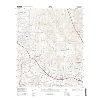
2015 Map of San Marcos
USGS Topo · Published 2015About this map
The San Marcos Mountains and Merriam Mountains frame a rapidly developing inland corridor between Vista and Escondido in this 2015 study. The landscape is defined by its educational and residential growth, featuring the campuses of California State University-San Marcos, Palomar College, and Kaplan College-Vista. This modern topographical survey captures the complex infrastructure of northern San Diego County, including the Second San Diego Aqueduct and the Vista Canal which serve the region's water needs.
Find a feature on this map
354 named features on this map. Tap any name to fly to it.
Don’t see what you’re looking for? This feature index may not catch every label — zoom into the map to look around manually.
Map Details
Editions of this 2015 San Marcos Map
This is the sole edition of this map. No revisions or reprints were ever made.
Other maps of this area

1893 · Oceanside
USGS Topo · 1:62,500

1893 · Escondido
USGS Topo · 1:62,500

1898 · Oceanside
USGS Topo · 1:62,500

1901 · Escondido
USGS Topo · 1:62,500

1901 · Oceanside
USGS Topo · 1:62,500

1901 · San Luis Rey
USGS Topo · 1:125,000

1904 · Southern California Sheet No. 2
USGS Topo · 1:250,000

1941 · Margarita Peak
USGS Topo · 1:62,500

1942 · Margarita Peak
USGS Topo · 1:62,500

1942 · Temecula
USGS Topo · 1:62,500