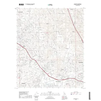
2018 Map of San Marcos
USGS Topo · Published 2018About this map
The San Marcos Mountains and Merriam Mountains overlook a rapidly densifying landscape in northern San Diego County. This 2018 survey documents the extensive suburban and educational infrastructure of San Marcos, Vista, and portions of Oceanside and Escondido. The map highlights the concentration of higher education in the area, including the sprawling campus of California State University-San Marcos, Palomar College, and the University of Saint Augustine for Health Sciences. Historically significant traces, such as the San Marcos Cemetery and the path of the San Diego Aqueduct, persist amidst the network of contemporary residential developments and major arterial roads like Borden Road and Buena Creek Road. The drainage patterns of Agua Hedionda Creek and San Marcos Creek illustrate how the modern urban grid has integrated with the natural topography of the foothills and valleys.
Find a feature on this map
303 named features on this map. Tap any name to fly to it.
Don’t see what you’re looking for? This feature index may not catch every label — zoom into the map to look around manually.
Map Details
Editions of this 2018 San Marcos Map
This is the sole edition of this map. No revisions or reprints were ever made.
Other maps of this area

1893 · Oceanside
USGS Topo · 1:62,500

1893 · Escondido
USGS Topo · 1:62,500

1898 · Oceanside
USGS Topo · 1:62,500

1901 · Escondido
USGS Topo · 1:62,500

1901 · Oceanside
USGS Topo · 1:62,500

1901 · San Luis Rey
USGS Topo · 1:125,000

1904 · Southern California Sheet No. 2
USGS Topo · 1:250,000

1941 · Margarita Peak
USGS Topo · 1:62,500

1942 · Margarita Peak
USGS Topo · 1:62,500

1942 · Temecula
USGS Topo · 1:62,500