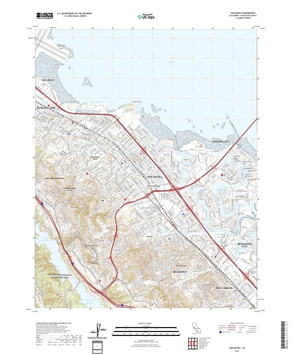
2021 Map of San Mateo
USGS Topo · Published 2021About this map
The San Francisco Peninsula presents a dense corridor of urbanization and infrastructure along the San Francisco Bay in this recent survey. Development is tightly bound between the bay shore and the rising terrain of the Santa Cruz Mountains, with the Caltrain line and El Camino Real serving as the primary north-south arteries through San Mateo, Burlingame, and Belmont. The map highlights the significant role of educational and civic institutions in the local landscape, such as the College of San Mateo and Notre Dame de Namur University.
Find a feature on this map
69 named features on this map. Tap any name to fly to it.
Don’t see what you’re looking for? This feature index may not catch every label — zoom into the map to look around manually.
Map Details
Editions of this 2021 San Mateo Map
This is the sole edition of this map. No revisions or reprints were ever made.
Other maps of this area

1892 · San Mateo
USGS Topo · 1:62,500

1896 · San Mateo
USGS Topo · 1:62,500

1897 · Palo Alto
USGS Topo · 1:62,500

1899 · Palo Alto
USGS Topo · 1:62,500

1899 · Haywards
USGS Topo · 1:62,500

1899 · San Mateo
USGS Topo · 1:62,500

1902 · Santa Cruz
USGS Topo · 1:125,000

1915 · San Mateo
USGS Topo · 1:62,500

1915 · Haywards
USGS Topo · 1:62,500

1939 · San Mateo
USGS Topo · 1:62,500