
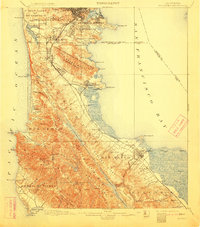
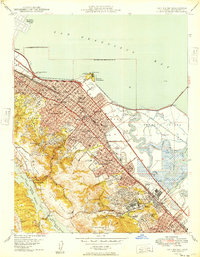
1943 Map of San Mateo
USGS Topo · Published 1943About this map
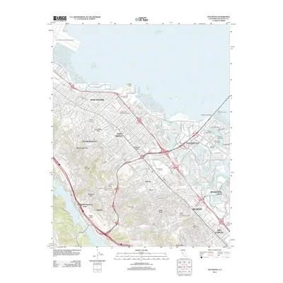
San Francisco and its southern peninsula suburbs appear here in a wartime 1943 survey, revealing the dense infrastructure and topography of the region during the height of World War II. The landscape is characterized by the massive ridgelines of San Bruno Mountain and Montara Mountain, which dictated the corridor of growth for communities like Daly City, South San Francisco, and San Mateo. Along the eastern shore, industrial landmarks such as Pier 92 and the piers at Hunter Pt highlight the importance of the bay for naval and commercial operations. Inland, a cluster of historic cemeteries in Colma, including Mt Olivet Memorial Park and Cypress Lawn Cem, marks a distinct land-use pattern that remains a defining feature of the area today. The map also traces critical transport links like the Southern Pacific railroad and the early San Mateo Bridge Toll Bridge.
Find a feature on this map
91 named features on this map. Tap any name to fly to it.
Don’t see what you’re looking for? This feature index may not catch every label — zoom into the map to look around manually.
Map Details
Editions of this 1943 San Mateo Map
This is the sole edition of this map. No revisions or reprints were ever made.
Historical Maps of San Francisco Through Time
15 maps found

1892 San Mateo
San Mateo County, CA

1896 San Mateo
San Mateo County, CA
1899 San Mateo
San Mateo County, CA
1915 San Mateo
San Mateo County, CA
1939 San Mateo
San Mateo County, CA
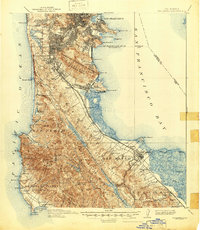
1943 San Mateo
San Mateo County, CA
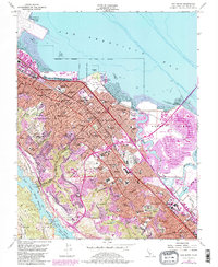
1947 San Mateo
San Mateo County, CA
1949 San Mateo
San Mateo County, CA
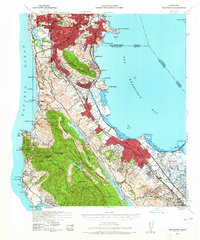
1956 San Mateo
San Mateo County, CA
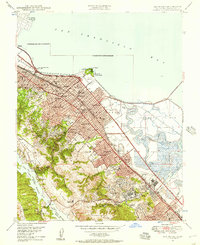
1993 San Mateo
San Mateo County, CA
1997 San Mateo
San Mateo County, CA
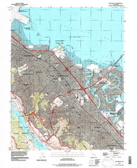
2012 San Mateo
San Mateo County, CA
2015 San Mateo
San Mateo County, CA
2018 San Mateo
San Mateo County, CA
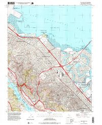
2021 San Mateo
San Mateo County, CA