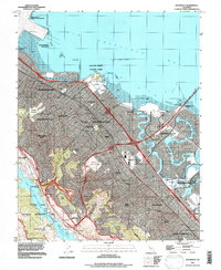
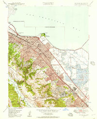
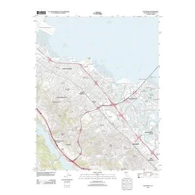
1993 Map of San Mateo
USGS Topo · Published 1997About this map
The Andreas Rift Zone carves a distinct geological path through the heart of the Peninsula, separating the urbanized corridor of San Mateo and Burlingame from the protected waters of the Lower Crystal Springs Reservoir. This 1993 revision, based on contours from 1946, illustrates the intense suburban densification of the late 20th century. While residential blocks of Hillsborough and Belmont fill the hillsides, the map captures specific cultural institutions like the Bay Meadows Racetrack and the Fiesta Grounds (Fairground) before later redevelopment changed these local landmarks. Along the San Francisco Bay shoreline, the engineered landscape of Foster City appears with its signature network of lagoons and waterways, including the Brewer Island Seal Slough, standing in contrast to the natural mudflats near Coyote Point. This record is particularly valuable for genealogists and local historians, as it marks numerous cemeteries and sanitaria including St Johns Cemetery and the Alexander Sanitarium.
Find a feature on this map
59 named features on this map. Tap any name to fly to it.
Don’t see what you’re looking for? This feature index may not catch every label — zoom into the map to look around manually.
Map Details
Editions of this 1993 San Mateo Map
This is the sole edition of this map. No revisions or reprints were ever made.
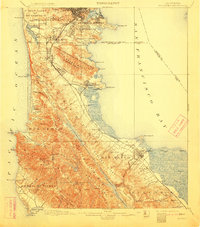
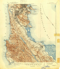
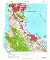
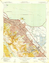
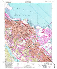
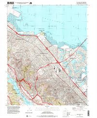
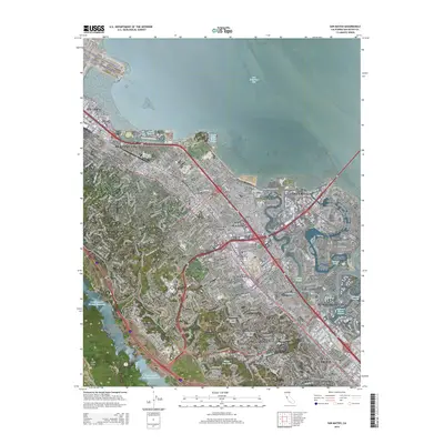
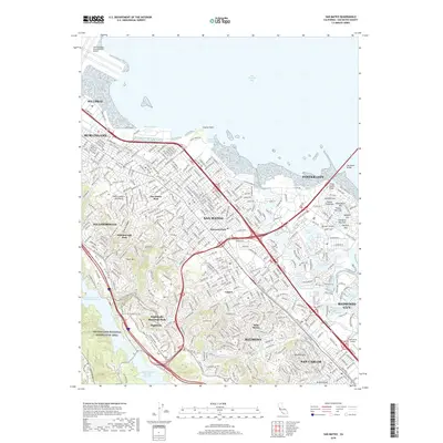
Historical Maps of San Mateo Through Time
15 maps found

1892 San Mateo
San Mateo County, CA

1896 San Mateo
San Mateo County, CA
1899 San Mateo
San Mateo County, CA
1915 San Mateo
San Mateo County, CA
1939 San Mateo
San Mateo County, CA

1943 San Mateo
San Mateo County, CA
1947 San Mateo
San Mateo County, CA
1949 San Mateo
San Mateo County, CA
1956 San Mateo
San Mateo County, CA
1993 San Mateo
San Mateo County, CA
1997 San Mateo
San Mateo County, CA
2012 San Mateo
San Mateo County, CA
2015 San Mateo
San Mateo County, CA
2018 San Mateo
San Mateo County, CA
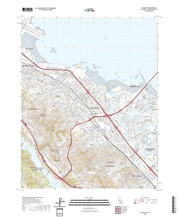
2021 San Mateo
San Mateo County, CA