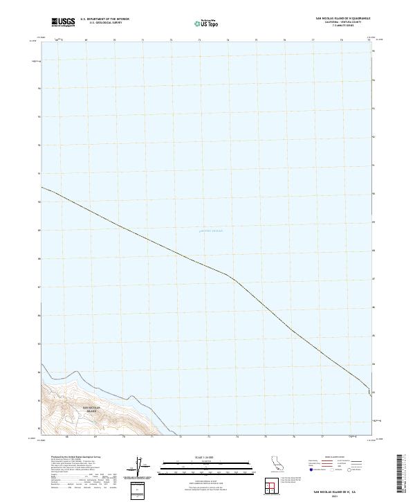
2021 Map of San Nicolas Island OE N
USGS Topo · Published 2021About this map
Pacific Ocean waters dominate this coastal quadrangle, which documents the northern offshore environment of the Channel Islands. The map captures the meeting of the sea and the extreme southwestern shoreline of San Nicolas Island, where topographic contours reveal the steep ascent from the waterline toward the island's interior plateau. Produced in 2021 by the U.S. Geological Survey, the chart illustrates the bathymetric and maritime context of this Ventura County outpost, highlighting the relative isolation of the island within the larger archipelago. This survey is a critical reference for understanding the modern coastal boundary and the rugged maritime geography of one of California’s most secluded offshore territories.
Find a feature on this map
1 named feature on this map. Tap any name to fly to it.
Don’t see what you’re looking for? This feature index may not catch every label — zoom into the map to look around manually.
Map Details
Editions of this 2021 San Nicolas Island OE N Map
This is the sole edition of this map. No revisions or reprints were ever made.
Other maps of this area
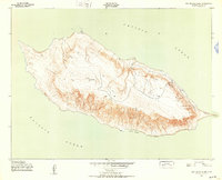
1943 · San Nicolas Island
USGS Topo · 1:24,000

1949 · Long Beach
USGS Topo · 1:250,000
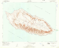
1956 · San Nicolas Island
USGS Topo · 1:24,000

1957 · Long Beach
USGS Topo · 1:250,000

1958 · Long Beach
USGS Topo · 1:250,000

1960 · Long Beach
USGS Topo · 1:250,000
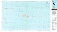
1993 · San Nicolas Island
USGS Topo · 1:100,000
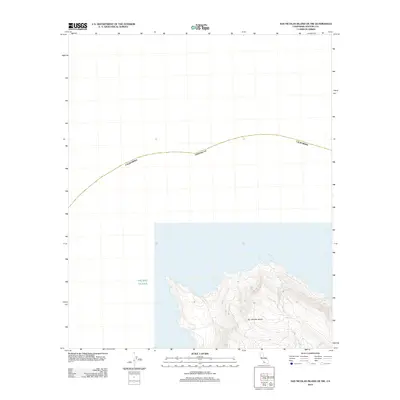
2012 · San Nicolas Island OE NW
USGS Topo · 1:24,000
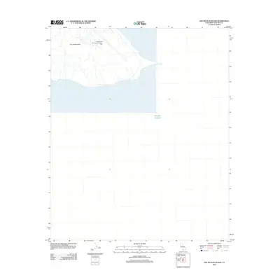
2012 · San Nicolas Island
USGS Topo · 1:24,000
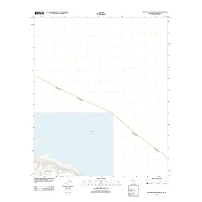
2012 · San Nicolas Island OE N
USGS Topo · 1:24,000