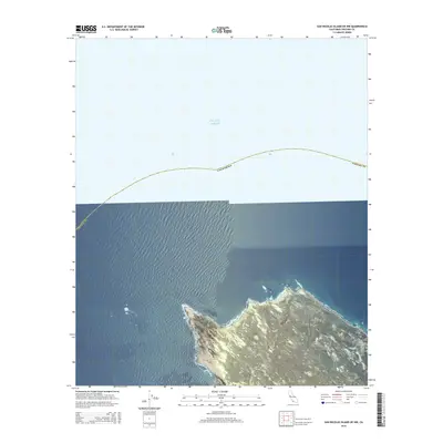
2015 Map of San Nicolas Island OE NW
USGS Topo · Published 2015About this map
The Pacific Ocean dominates this offshore survey, capturing the maritime boundaries where the Ventura Co line extends into open water. This 2015 study focuses on the northwestern coastal approach to San Nicolas Island, depicting the dramatic bathymetry and topographic relief of the northern shoreline as it rises from the sea. The map provides a precise look at the transition from the depths of the ocean to the complex coastal terrain of this offshore environment. While primarily an aquatic survey, the inclusion of the California state boundary line illustrates the administrative divisions that reach far beyond the mainland, essential for maritime navigation and coastal resource management.
Find a feature on this map
3 named features on this map. Tap any name to fly to it.
Don’t see what you’re looking for? This feature index may not catch every label — zoom into the map to look around manually.
Map Details
Editions of this 2015 San Nicolas Island OE NW Map
This is the sole edition of this map. No revisions or reprints were ever made.
Other maps of this area
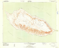
1943 · San Nicolas Island
USGS Topo · 1:24,000

1949 · Long Beach
USGS Topo · 1:250,000
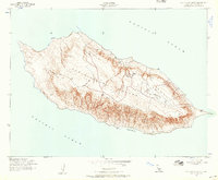
1956 · San Nicolas Island
USGS Topo · 1:24,000

1957 · Long Beach
USGS Topo · 1:250,000

1958 · Long Beach
USGS Topo · 1:250,000

1960 · Long Beach
USGS Topo · 1:250,000
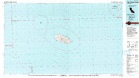
1993 · San Nicolas Island
USGS Topo · 1:100,000
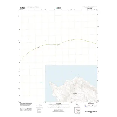
2012 · San Nicolas Island OE NW
USGS Topo · 1:24,000
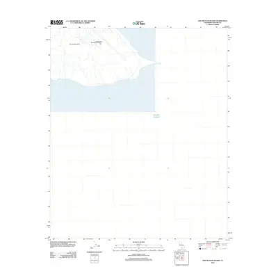
2012 · San Nicolas Island
USGS Topo · 1:24,000
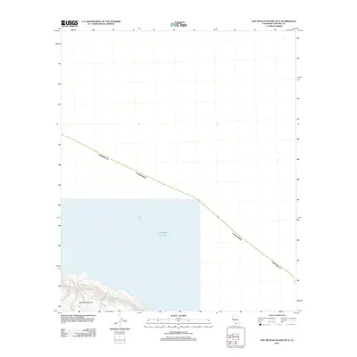
2012 · San Nicolas Island OE N
USGS Topo · 1:24,000