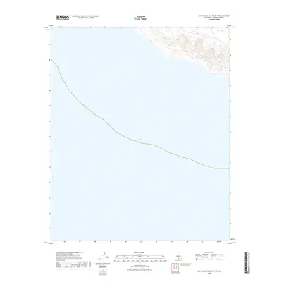
2018 Map of San Nicolas Island OE SW
USGS Topo · Published 2018About this map
The vast expanse of the Pacific Ocean dominates this maritime survey, illustrating the isolated coastal environment of the northern Channel Islands. This 2018 edition provides a modern topographic record of the waters surrounding the southwestern portion of San Nicolas Island, highlighting the steep underwater drop-offs indicated by the concentrated contour lines along the island's perimeter. The shoreline depicted here is part of a sensitive military and ecological zone managed by the U.S. Department of the Interior and the U.S. Geological Survey. Researchers of coastal topography will find the sharp transition from the island's interior elevations to the sea floor particularly useful for studying erosion and marine geomorphology in this remote section of Ventura County.
Find a feature on this map
1 named feature on this map. Tap any name to fly to it.
Don’t see what you’re looking for? This feature index may not catch every label — zoom into the map to look around manually.
Map Details
Editions of this 2018 San Nicolas Island OE SW Map
This is the sole edition of this map. No revisions or reprints were ever made.
Other maps of this area
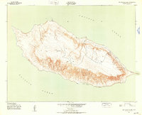
1943 · San Nicolas Island
USGS Topo · 1:24,000

1949 · Long Beach
USGS Topo · 1:250,000
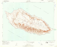
1956 · San Nicolas Island
USGS Topo · 1:24,000

1957 · Long Beach
USGS Topo · 1:250,000

1958 · Long Beach
USGS Topo · 1:250,000

1960 · Long Beach
USGS Topo · 1:250,000
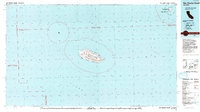
1993 · San Nicolas Island
USGS Topo · 1:100,000
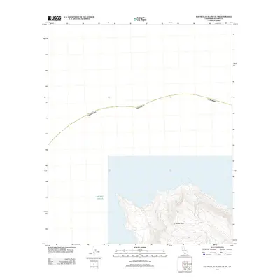
2012 · San Nicolas Island OE NW
USGS Topo · 1:24,000
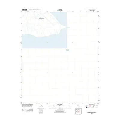
2012 · San Nicolas Island
USGS Topo · 1:24,000
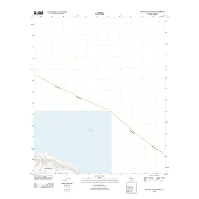
2012 · San Nicolas Island OE N
USGS Topo · 1:24,000