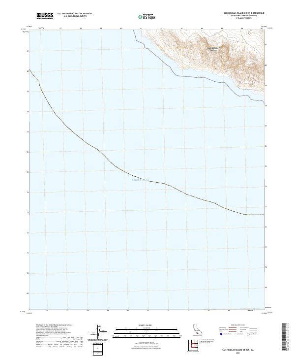
2021 Map of San Nicolas Island OE SW
USGS Topo · Published 2021About this map
The vast expanse of the Pacific Ocean dominates this maritime survey off the coast of Ventura County, California. This sheet covers a remote section of the sea southwest of the main island, where the deep waters of the Southern California Bight meet the submerged landforms of the Outer Santa Barbara Channel. Topographic detail is concentrated in the extreme northeast corner, capturing a small portion of the steep, coastal bluffs and high ridges that rise abruptly from the shoreline. The mapping of the marine environment here highlights the isolation of this region, which remains largely under the jurisdiction of the Department of Defense, maintaining a landscape essentially untouched by civilian development or infrastructure.
Find a feature on this map
1 named feature on this map. Tap any name to fly to it.
Don’t see what you’re looking for? This feature index may not catch every label — zoom into the map to look around manually.
Map Details
Editions of this 2021 San Nicolas Island OE SW Map
This is the sole edition of this map. No revisions or reprints were ever made.
Other maps of this area
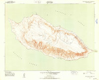
1943 · San Nicolas Island
USGS Topo · 1:24,000

1949 · Long Beach
USGS Topo · 1:250,000
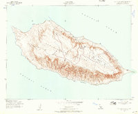
1956 · San Nicolas Island
USGS Topo · 1:24,000

1957 · Long Beach
USGS Topo · 1:250,000

1958 · Long Beach
USGS Topo · 1:250,000

1960 · Long Beach
USGS Topo · 1:250,000
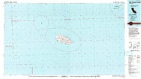
1993 · San Nicolas Island
USGS Topo · 1:100,000
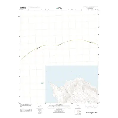
2012 · San Nicolas Island OE NW
USGS Topo · 1:24,000
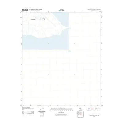
2012 · San Nicolas Island
USGS Topo · 1:24,000
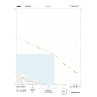
2012 · San Nicolas Island OE N
USGS Topo · 1:24,000