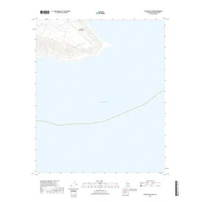
2018 Map of San Nicolas Island
USGS Topo · Published 2018About this map
San Nicolas Island Naval Outlying Field occupies the high plateau of this isolated landscape, its runway and aviation facilities positioned atop the island's steep northern contours. This 2018 survey documents the restricted military character of the island, which is managed by the Department of the Navy. Along the southern shoreline, the terrain drops significantly toward Dutch Harbor, one of the few named coastal inlets on the sheet. The map illustrates a stark, functional landscape defined by sharp elevation changes and the surrounding expanse of the Pacific Ocean, reflecting the island's strategic role as a remote naval installation off the California coast.
Find a feature on this map
3 named features on this map. Tap any name to fly to it.
Don’t see what you’re looking for? This feature index may not catch every label — zoom into the map to look around manually.
Map Details
Editions of this 2018 San Nicolas Island Map
This is the sole edition of this map. No revisions or reprints were ever made.
Other maps of this area
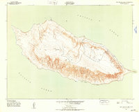
1943 · San Nicolas Island
USGS Topo · 1:24,000

1949 · Long Beach
USGS Topo · 1:250,000
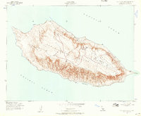
1956 · San Nicolas Island
USGS Topo · 1:24,000

1957 · Long Beach
USGS Topo · 1:250,000

1958 · Long Beach
USGS Topo · 1:250,000

1960 · Long Beach
USGS Topo · 1:250,000
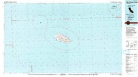
1993 · San Nicolas Island
USGS Topo · 1:100,000
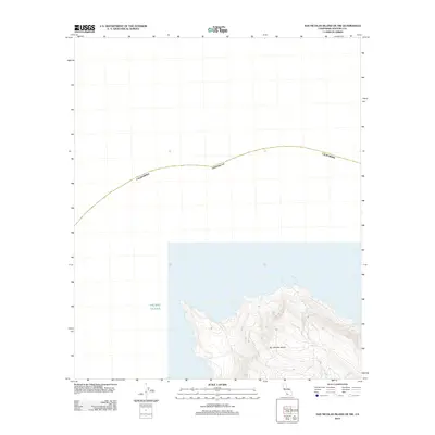
2012 · San Nicolas Island OE NW
USGS Topo · 1:24,000
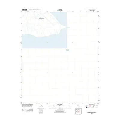
2012 · San Nicolas Island
USGS Topo · 1:24,000
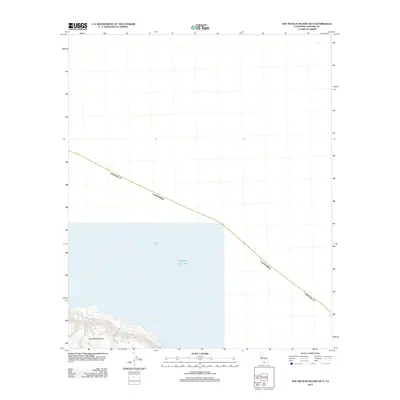
2012 · San Nicolas Island OE N
USGS Topo · 1:24,000