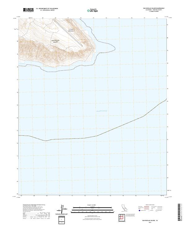
2021 Map of San Nicolas Island
USGS Topo · Published 2021About this map
San Nicolas Island Naval Outlying Field occupies the northern plateau of this remote coastal landscape, where military infrastructure meets the steep topographic contours of the island's interior. This 2021 survey illustrates the stark isolation of the outpost, surrounded entirely by the Pacific Ocean. On the southern shore, Dutch Harbor provides a rare point of orientation along a coastline defined by dramatic elevation changes. The map reveals the intricate network of roads and runways that support naval operations, contrasting the engineered precision of the airfield against the natural erosion patterns and steep drainages that characterize the island's southern slopes.
Find a feature on this map
3 named features on this map. Tap any name to fly to it.
Don’t see what you’re looking for? This feature index may not catch every label — zoom into the map to look around manually.
Map Details
Editions of this 2021 San Nicolas Island Map
This is the sole edition of this map. No revisions or reprints were ever made.
Other maps of this area
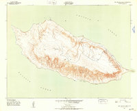
1943 · San Nicolas Island
USGS Topo · 1:24,000

1949 · Long Beach
USGS Topo · 1:250,000
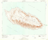
1956 · San Nicolas Island
USGS Topo · 1:24,000

1957 · Long Beach
USGS Topo · 1:250,000

1958 · Long Beach
USGS Topo · 1:250,000

1960 · Long Beach
USGS Topo · 1:250,000
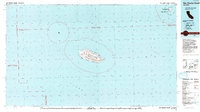
1993 · San Nicolas Island
USGS Topo · 1:100,000
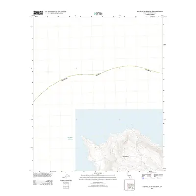
2012 · San Nicolas Island OE NW
USGS Topo · 1:24,000
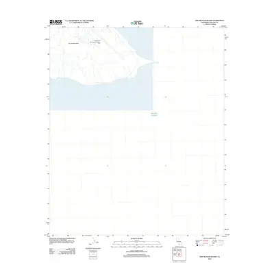
2012 · San Nicolas Island
USGS Topo · 1:24,000
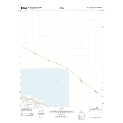
2012 · San Nicolas Island OE N
USGS Topo · 1:24,000